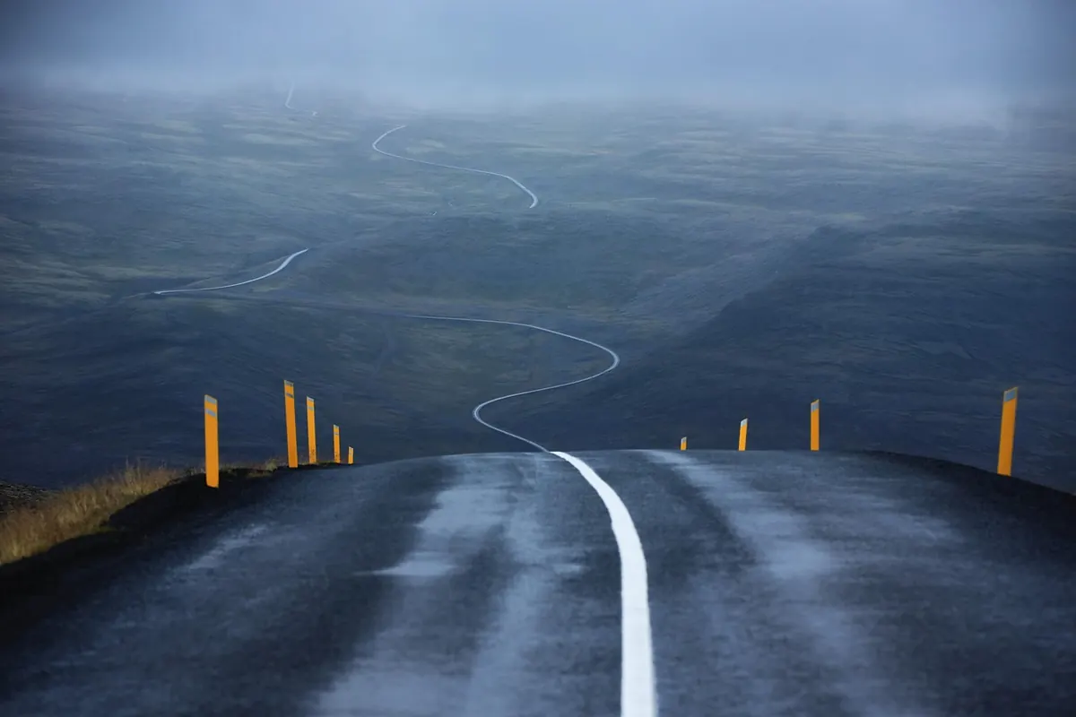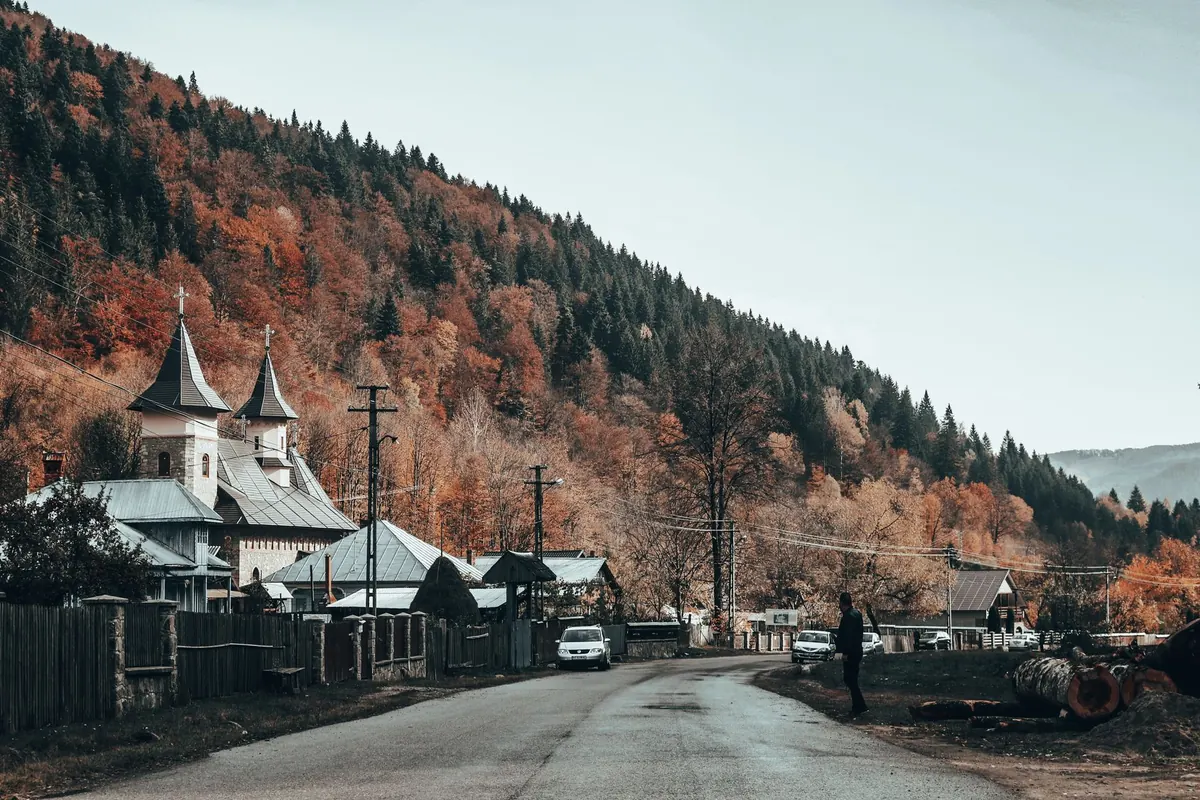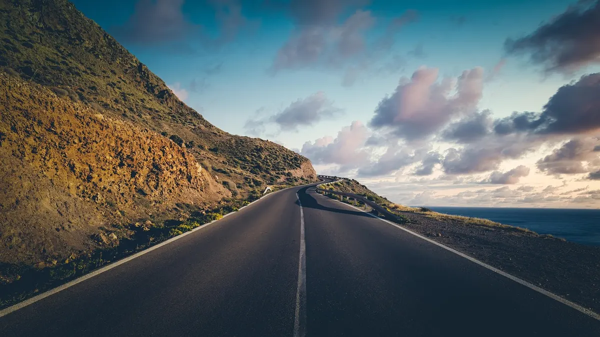
Coastal roads are sold as images: the cliff, the light, the empty asphalt curving ahead. Then you arrive and find a coach reversing towards you, a bank of fog sitting on the headland, and a hairpin you hadn't factored into your schedule. Choosing a route well is less about finding the "best" coastal drive than matching a road to the day you actually have, the car you're sitting in, and how confident you feel behind the wheel. Three things decide whether a coastal route becomes a good memory or a long argument: season, traffic, and your own comfort level. Sort those out first and the map almost picks itself.
Start with the season, not the map
A road can be delightful in May and miserable in August. On Mediterranean coasts, high summer brings heat haze that flattens the views, full car parks by mid-morning, and coach traffic on the classic stretches — the Amalfi Coast's SS163 being the obvious example. Late spring and early autumn usually give you better light and thinner traffic, though the sea may be brisk for swimming.
Atlantic and northern coasts work the other way around. Spring and early summer often bring fog that sits on the cliffs until noon; autumn storms can close exposed sections entirely. Winter is quiet and dramatic, but check daylight before you commit. In northern Scotland or Norway, a December afternoon can be dark by half past three, which turns a scenic drive into a night drive on an unfamiliar road.
Two seasonal details worth checking before anything else:
- Sun direction. Driving west into a low evening sun on a wet coast road is glare plus spray. Morning often gives you the cleaner light.
- Wind and rain. Exposed bridges and causeways — Norway's Atlantic Road is the classic case — feel very different in a gale. So do cliff roads after heavy rain, when rockfall and gravel on the surface are worth expecting.
Read the road on paper before you trust the photographs
Most coastal drives can be placed in one of three rough bands. Be honest about which band you're comfortable in.
- Easy: two full lanes, painted lines, guardrails, gentle curves. You can hold a conversation and glance at the sea. Much of Denmark's west coast fits here.
- Moderate: the road narrows, bends are blind, barriers come and go, and you'll meet the occasional lorry. Cornwall's B3306 between St Ives and St Just is a good example — beautiful, but not fast.
- Demanding: single-track with passing places, reversing to let someone through, unguarded drops, steep gradients, loose surfaces. Parts of the North Coast 500 and many Greek or Croatian back roads belong here.
The clues are all on the map if you know what to look for. Contour lines crowding right up against the coastline mean a road pinned to a slope. A cluster of tight switchbacks means a slow descent, not a scenic detour. Road width matters more than distance: a yellow or white minor road on a decent map is a hint, and a quick look at a street-level image at two or three random points will tell you more than a hundred reviews. Check for tunnels too — some coastal routes have long ones where the view, and the phone signal, disappears.
If you're driving an unfamiliar car, or driving on the "wrong" side for the first time, drop one band. A demanding road is the wrong place to be learning where the gearstick is.
Traffic keeps a schedule, and it's predictable
Almost every coastal road in the world has one lane in each direction and a handful of bottlenecks: a village square, a viewpoint, a bridge. Traffic behaviour around those points follows patterns you can work with.
Locals commute between roughly seven thirty and nine, and again in the late afternoon. Coach convoys tend to hit famous viewpoints from mid-morning to mid-afternoon, and cruise-ship days concentrate them further. Sunday afternoons bring leisure drivers and cyclists in numbers. Public holidays are their own category.
The practical version: start early. Being at the celebrated stretch by eight in the morning can save you an hour of crawling later, and the light is usually better anyway. Stop for lunch when everyone else is queuing for parking, then drive again in the late afternoon. On the most congested routes, it's often smarter to do the famous part in the evening and the quiet inland section in the morning.
Match the route to the hours you actually have
Coastal roads are slow, and that's the point of them. As a working rule, plan on an average of 45 to 55 km/h on a moderate two-lane coast road, 30 to 40 km/h where it tightens, and 20 to 25 km/h on single-track with passing places. A hundred kilometres that looks like ninety minutes on paper can easily be three hours with a stop or two.
So choose one good stretch rather than the whole coastline. Add time for the things you'll actually want to do: ten minutes hunting for a parking space in a fishing village, twenty minutes at a viewpoint, an hour for a swim and lunch. And build in an exit — most coastal regions have an inland road or a motorway running parallel, and knowing where you'd bail out takes the pressure off the whole day.
Ferries and tolls deserve their own line in the plan. Chapman's Peak Drive near Cape Town is tolled and closes in bad weather; Croatian and Greek coastal ferries fill up in season. Check the day before, not at the barrier.
What you're driving matters more than you think
A wide car on a single-track road is work, and a wide car in an old coastal town is a parking problem. If you have a choice, take the smaller vehicle. On steep descents, use engine braking rather than riding the brakes — long coastal downhills cook pads surprisingly quickly. Fill up before remote stretches; fuel stations thin out along the coast, and charging points can be sparse in the same places, so plan any electric stops in advance.
Think about passengers too. Hairpins and cliff edges are a bad combination for anyone prone to motion sickness: front seat, fresh air, regular stops, and a driver who smooths the corners rather than attacking them. If you're travelling with children or a nervous passenger, a gentler road with guardrails will make the whole day better.
A short pre-drive checklist
- Forecast, including wind, and the sunset time for your finishing point.
- Current road closures or seasonal restrictions, checked with the local road authority or tourist office.
- Fuel or charge for the full loop, plus a margin.
- Offline maps downloaded, and coins or a card for tolls and parking machines.
- Water, a warm layer, and sunglasses for low sun.
- Accommodation booked at the end, not improvised after dark.
It's also worth a quick look at local driving rules before you set off — vignettes, low-emission zones, toll payment systems and any equipment requirements vary by country, and the official tourism or road authority site is the place to confirm them.
The route that fits is the route you'll enjoy
There's no universal best coastal drive. A stretch that delights a confident driver in a small hatchback in late May can be genuinely unpleasant in August in a rented minivan with three tired passengers. Choose the season first, then pick a road in a difficulty band you can relax in, then give yourself more hours than the distance suggests. Leave room to stop, and room to turn around. If a road stops being fun, taking the inland route back is not a failure — it's the whole point of planning ahead.
Photo: ddzphoto / Pixabay