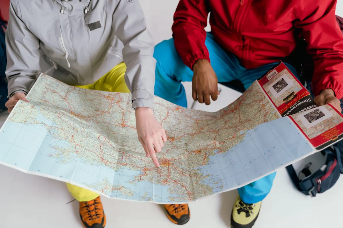
A good road map is not just a line from A to B. It is a quiet inventory of ridges, rivers, passes, and odd little roads that might be worth a stop. The trick is learning to see the clues before you drive: the shape of the land, the curve of the road, the symbols that mark a viewpoint or a parking place. None of this requires special equipment. A decent paper map, a scale bar, and a few minutes of attention will do.
Read the Land Before the Road
Terrain shading is the first clue. On most road maps, relief shading uses shadow to suggest slope: darker or shaded sides face away from the light, lighter faces catch it. That does not give exact elevation, but it does show where ground rises and falls. Contour lines give precision. Check the interval in the legend, whether it is 20, 40, or 100 metres. Tight contours mean steep ground; widely spaced contours mean gentle ground. A road that crosses contours in a tight cluster is climbing. One that follows them sideways is traversing a slope. That traverse is often where views open up.
Look for specific landforms: a pass or saddle between two higher areas, a road hugging the edge of an escarpment, a bridge over a gorge, a stretch beside a lake or river. If the map shows a spot height or triangulation pillar near a road bend, that is a good sign. A series of crag or rock symbols above the road may mean a view, but it may also mean there is nowhere safe to stop. Remember that every map is a generalization. It will not show every wall, hedge, or gate, but it will show you where the land is dramatic enough to justify slowing down.
The Road's Line Tells a Story
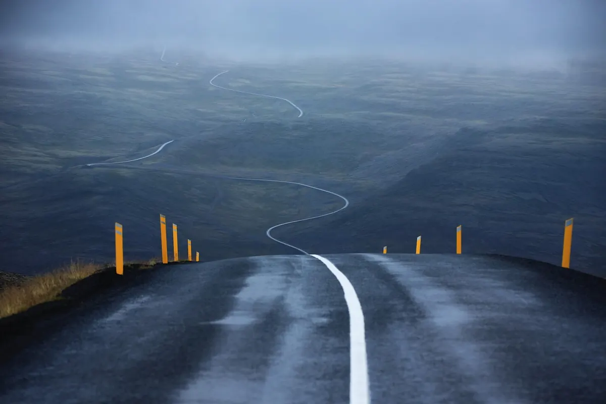
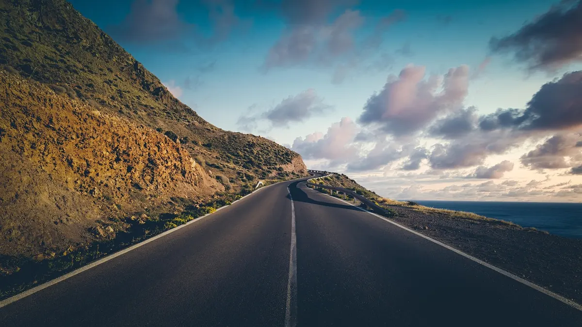
Road curvature is more than aesthetics. Long sweeping bends often follow easy ground: valley floors, plateaus, old coaching routes. A run of tight hairpins or switchbacks means a climb or descent, and the top or bottom of that sequence is a natural viewpoint. A road that changes direction sharply at a ridge is worth checking. The bend may sit on a shoulder of land with open ground on one side. A road that follows a river will be enclosed by trees in places, but bridges and confluence points break the cover.
Also read road classification. Thick lines mean faster, more direct roads; thin lines mean smaller, slower ones. A minor road that loops away from the main route and rejoins it later is often a low-cost detour. A dead-end road with a lake or viewpoint symbol at its end can be better than a busy main-road pull-off. The catch is that minor roads may be narrow, unsurfaced, or private. Check the legend and any seasonal marks before you commit.
Map Symbols Worth a Second Look
Symbols are not decoration. They are the map's shorthand for “something is here.” Learn the ones that matter to a driver, then look for clusters. A viewpoint symbol alone may mean a trailhead with no parking. A viewpoint symbol next to a parking or picnic area is much stronger. The same goes for a pass: a col symbol with a road through it and a parking symbol nearby is a reliable candidate. A castle or ruin symbol on a hill above the road may be worth a short detour even if you skip the interior.
Here are the clues I check first:
- Viewpoint or panorama symbols: marked overlooks, often with a parking or picnic symbol nearby.
- Pass, col, or saddle symbols: road crossings at high points, good for a quick stop and a look back.
- Parking and picnic areas: practical places to stop even when the view is not marked.
- Lakes, reservoirs, and river confluences: water often means a bridge, a bend, and open sightlines.
- Ruins, chapels, towers, and standing stones: small historic features that justify a short side trip.
- Bridges, viaducts, and tunnels: engineered crossings usually signal a gorge, valley, or sudden change of scene.
- Spot heights and triangulation points: precise high ground near the road, often with a view.
Symbols vary by country and publisher, so read the legend every time. A blue symbol may mean a viewpoint on one map and a water feature on another.
Hunt for Small Detours, Not Big Ones
The best detours are often short. Look for a road that leaves the main route, curves around a hill, and rejoins it a few kilometres later. On a 1:50,000 map, measure the detour with the scale bar rather than guessing. A loop that looks tiny on paper can take twenty minutes on a narrow road; a longer-looking spur on a fast road may cost less. Check the contour pattern: if the detour climbs to a pass and drops back down, it will be slower than its length suggests.
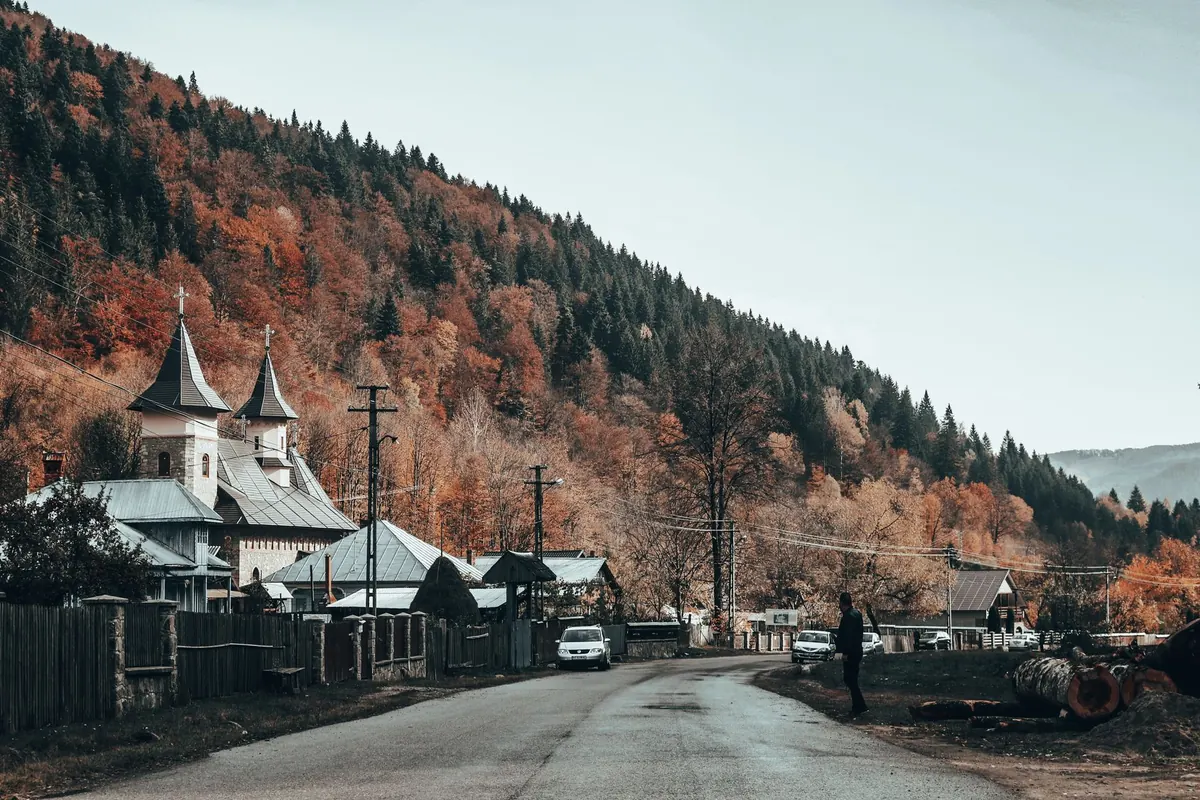
Dead-end spurs are underrated. A road that ends at a lake, a trailhead, or a lonely chapel gives you a clear destination and an easy turnaround. Look for the road narrowing at the end, a car park symbol, or a turning circle. If the map shows a gate, a military area, or a private property boundary, treat the spur as uncertain. Respect local access rules; a locked gate is not a challenge. The other useful detour is the “wrong side of the river.” Where two roads run parallel on opposite banks, the smaller one is often slower but closer to the water. Check bridges and ferry crossings before committing.
Cross-Check Before You Commit
A paper map is excellent at showing land shape and poor at showing current conditions. Before you build a stop into the day, cross-check the obvious risks. Is the road seasonal? Is there a tunnel height limit or a weight restriction? Does the viewpoint symbol sit on a private road? Are there parking restrictions at the trailhead? A satellite view can confirm whether a marked parking area is real and whether the bend has a safe verge. Street-level imagery, where available, is useful for checking the approach and the exit.
For remote stretches, think about fuel, water, and phone coverage before you leave the main road. None of that is romantic, but it is what turns a clever detour into a good one. Keep the detour proportionate: if you have a long drive ahead, one well-chosen spur is better than three rushed ones.
Build a Route With Options
Mark three to five candidate stops on the map before you go. Use a highlighter for the ones you are serious about and a pencil for maybes. Note the time each detour adds, not just the
Photo: Tima Miroshnichenko / Pexels